Wivenhoe itself has quite a bohemian feel and has been home to many artists, writers and performers. Its narrow streets and quirky buildings integrate perfectly with its riverside setting and are well worth a wander. The Colne Barrier was built across the river just downstream of the town in the early 1990s to prevent flooding further up river, and is closed an average of four times a year. To the north of the town, and walkable along the river bank, Wivenhoe Park now forms part of the University of Essex campus. Originally the grounds of Wivenhoe House, the Park was the subject of a famous 1816 painting by John Constable which now hangs in the National Gallery of Art in Washington DC. The Park is home to a considerable collection of native and foreign trees, with a focus on oaks, including a pair of very old, sprawling cork oaks behind the House itself (now a hotel and restaurant). It is said that a former owner of the House, General Rebow, brought them back after serving in the Peninsular War, as small saplings in his riding boots. For those inspired by Cockaynes Wood, the Fingringhoe Wick nature reserve sits just across the river from the mouth of Arlesford Creek. Also set on old sand and gravel works, it was Essex Wildlife Trust’s first nature reserve and the site of their first visitor centre. Originally an almost barren landscape after the aggregate had been worked, it is now a haven of flora and fauna, including a population of adders, and is famous as a breeding site for nightingales, whose resonant calls can be heard echoing across the valley on spring evenings.

1. Head west along the coastal path, in the direction of an abandoned pier-head, part of an old cable-way used for loading sand and gravel from the quarry into boats. In places the path is hedged on both sides. After 500 metres the path almost imperceptibly moves onto the old line of the dismantled Wivenhoe to Brightlingsea railway. This crossed the mouth of Alresford Creek via a swing bridge and some pier supports can still be seen either side of the mouth of the Creek, while a buoy marks shallows in the channel caused by remains of the structure. The branch-line was closed in 1964 as part of the Beeching cuts and the bridge demolished with explosives.
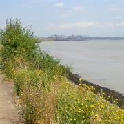
2. From here the path continues along the eastern bank of the River Colne for over 2 kilometres before reaching Wivenhoe. About halfway, the old railway line can be seen head inland, now just a straight overgrown bank above the grazing marsh. On reaching Wivenhoe pass through a gate, past the Sailing Club and the Colne Tidal Barrier. Keeping the river on your left, pass some flats and a pontoon, then the quay which often hosts small fishing boats. Continue quayside along ‘The Folly’ before turning right into Bethany Street, at the end of which is the Black Buoy pub.

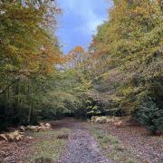
4. Cross the road and follow the lane opposite, past several small businesses and a farm, before turning right down some steps opposite a lake, into Cockaynes Wood. This nature reserve abounds with bird and insect life and is a great example of how biodiversity can return to what were sand and gravel works. The path, in places a boardwalk, runs straight through the wood before bending left, passing an old gravel works entrance and wire fence, then right, to a pedestrian level crossing over the railway (there is a stile on either side). On the opposite side pass between horse paddocks and a manège (mind any barbed wire) leading back to Alresford Road.
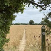
5. Turn right along the roadside verge, then cross and turn left, taking the second track signed for Marsh Farm & Alresford Grange. This is the driveway for the Grange, beyond which it continues, past a white gate, as a bridleway along a verdant path for just over a kilometre, to meet Ford Lane. Turn right.
6. If you have walked enough then continue along the lane, back to the starting point, but to explore the upper reaches of Alresford Creek turn left up the path opposite the cottages just beyond the old quarry works. The route passes lakes on the left and meadows on the right, with views across the valley, then kinks around a plantation before turning right, beside a tall hedge. As the path bends left, All Saints’ Church across the Creek at Brightlingsea stands above the horizon.
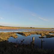
7. The path meets the water’s edge at a sluice where Sixpenny Brook flows in the Creek. Take the path along the right-hand side of the sluice and from there follow the sea-wall path for a kilometre, back to the starting point.

Distance: 6.4 miles (10.3km).
Starting point: The southern end of Ford Lane, on the northern side of the Creek: grid reference TM063197; postcode CO7 8AZ.
Access: Parking is available at the bollarded area where the lane meets the saltmarsh. To access via public transport, start and finish the walk in Wivenhoe which has a railway station and is also served by the frequent S1 Colchester shuttle bus.
Map: OS Explorer 184 Colchester, Harwich & Clacton-on-Sea.
Refreshment: The Black Buoy pub is passed on the walk, as are the Temptations Tea-room and the Norwegian Bakers in the Wivenhoe Business Centre on Brook Street. There are other pubs, shops and cafes further into Wivenhoe.


