The current Coalhouse Fort was constructed in the 1860s but there was an earlier battery built on the site in 1799 during the French Revolutionary War. An even earlier blockhouse was erected a little further south in 1540 during the reign of Henry VIII but was soon abandoned and the site reclaimed by the river. All were intended as defence against enemy naval incursion up the Thames towards London, and have housed a number of very large artillery weapons. During WWII the current Fort also served an important anti-aircraft role and later served as a degaussing facility to protect shipping against magnetic mines. Decommissioned in 1949, it is nevertheless very well preserved and now maintained as a heritage site. East Tilbury is perhaps most well-known for its association with Bata Shoes, a Czech (originally Austro-Hungarian) company which set up a factory here during the 1930s depression and quickly built a small town in the vicinity to house its workers and provide for their social needs. The buildings were designed by Czech architects and considered very modernist in their time. Production declined during the latter part of the 20th century and closed down in 2005, but the buildings were already designated a planning Conservation Area for their architectural merit and many remain today, including a factory block with the company’s logo sign on the roof. The marshes between East Tilbury and Mucking have been used extensively for landfill and remain partly operational; the large travelling crane serving the site is visible from the walk. The north of the site has been reclaimed and now houses Essex Wildlife Trust’s Thameside Nature Discovery Park. This is already a biodiversity hot-spot with something of interest all year round, accessible via a multitude of tracks and paths. There is ample parking and a well provisioned visitor centre too.
THE WALK
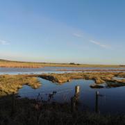
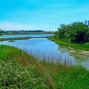
1. From the car park head towards the Fort then turn left, passing the moat, to access the concrete sea-wall path overlooking grassland and marshes towards the River Thames, with Kent in the distance. From here there is a choice to walk on the concrete path or to opt for the grassy track on the landward side; the concrete path has the best views out across the river.
2. In just over a kilometre the route passes east of a wetland scrape, home to a variety of wildfowl, waders and other birds. Continuing, down-river one can see the large container port at London Gateway and, smaller but closer, the travelling crane at the landfill site. A kilometre beyond the scrape, just past a sluice, the concrete path ends.
3. Turn inland on a grassy path, signposted as the England Coast Path, with a chain-link fence marking the boundary of the landfill site on the right. The path meanders between the fence on the right and a dyke on the left, to reach a metal gate accessing the nature reserve (there is a sign about adders). Do not pass through the gate, instead turn left and follow the sign for Public Footpath 147. Soon there are houses and gardens on the left; follow the left-hand edge of Gobions Park, to emerge onto Princess Margaret Road. Turn right and head towards a level crossing.

5. At the lane, which is closed to vehicles, turn left and eventually pass a gate and some houses to reach Station Road. Turn left again; the road here can be used by heavy vehicles so be careful. Cross a level crossing and follow the road. After 750 metres, round a bend to the left, opposite a concrete track, then leave the road on the right at Goshem’s Farm.
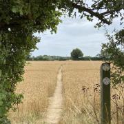
6. At the rear of the yard take the track leading to arable fields beyond. Swing left then right onto a long downhill straight between fields. At the bottom turn left and follow the hedge-line, before passing through a wide gap to continue in the same direction with the hedge on your left, towards distant buildings. Emerge onto the lane opposite St. Catherine’s Church. Turn right to return to the Fort, or left to pop into The Ship for refreshment.
COMPASS POINTS
Distance: 6.0 miles (9.6km).
Starting point: Coalhouse Fort: grid reference TQ690768; postcode RM18 8PB.
Access: There is a large car park at the Fort. To access via public transport, start and finish the walk at East Tilbury railway station (point 4 on the route).
Map: OS Explorer 163 Gravesend & Rochester.
Refreshment: The George & Dragon pub is close to the railway station and The Ship pub is near Coalhouse Fort. There are a café and toilets at the Fort itself.


